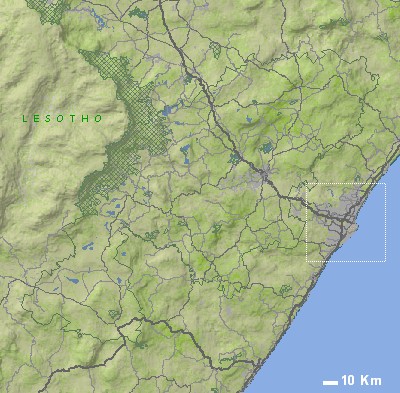
| | | SYMBOLS USED ON THE INTERACTIVE MAP ABOVE |  | Town |  | Wilderness area |  | Town with accommodation |  | National Park / Reserve |  | Adventure |  | Mountain Bike Trail | | Zoom in to detail map |  | 4x4 Trail |  | Route number |  | Hiking |  | Accommodation |  | Wine tasting |  | Attraction |  | Photo (north orientated) |
|
| SELECTED IMAGES | 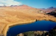  |
| | | MOST POPULAR DESTINATIONS | |
|
| |
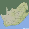
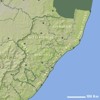
| | SMALLER SCALE MAPS (ZOOM OUT) | |
| MORE MAPS RELATED TO INDLOVU | |
| |