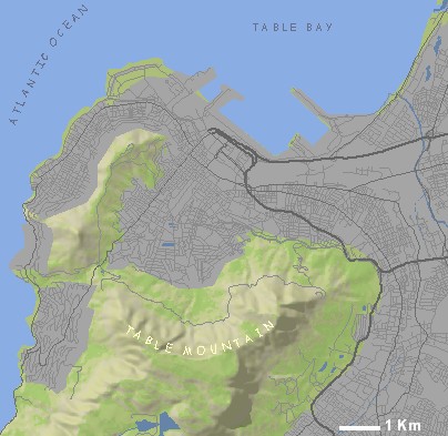
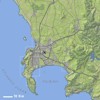
| | | SYMBOLS USED ON THE INTERACTIVE MAP ABOVE |  | Location highlighter | | Zoom in to detail map |  | Town |  | Wilderness area |  | Town with accommodation |  | National Park / Reserve |  | Adventure |  | Mountain bike route |  | Major route |  | 4x4 Trail |  | Minor route |  | Hiking |  | Accommodation |  | Wine tasting |  | Attraction |  | Photo (north orientated) |
|
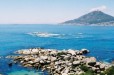
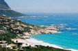
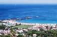
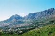
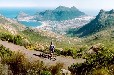
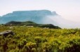
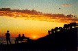
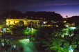
| IMAGES IN OR NEAR CAPE TOWN | 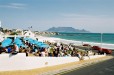 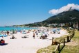 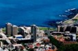
|
| |
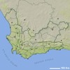
| | OTHER INTERACTIVE MAPS RELATED TO CAPE TOWN | |
| MORE MAPS RELATED TO CAPE TOWN | | South-West Coast Perspective Map
Size: 940 x 720 mm
Price: |
| Cape Town and Overberg Perspective Map
Size: 940 x 600 mm
Price: |
| Boland Perspective Map
Size: 900 x 940 mm
Price: |
| South Western Cape
Size: 1000 x 770 mm
Price: |
| Cape Town Travel Map
Size: 528 x 412 mm
Price: |
| Free Cape Town City Centre Map
Size: 1911 x 2630 mm
Price: |
|
| |